 Polar View is an earth observation (EO) or satellite remote-sensing program,
focused on both the Arctic and the Antarctic. Polar View is supported by the
European Space Agency (ESA) and the European Commission with participation by
the Canadian Space Agency. It promotes the utilization of satellites for public
good and in support of public policy in the areas of sustainable economic development,
marine safety, and environment.
Polar View is an earth observation (EO) or satellite remote-sensing program,
focused on both the Arctic and the Antarctic. Polar View is supported by the
European Space Agency (ESA) and the European Commission with participation by
the Canadian Space Agency. It promotes the utilization of satellites for public
good and in support of public policy in the areas of sustainable economic development,
marine safety, and environment.
The Polar View Team consists of companies, government
agencies and research institutes across Europe and Canada and is likely the most
experienced and comprehensive group in the world of polar EO experts. Each
organization brings diverse, complementary skills the Polar View program and
is committed to establishing a dedicated service for addressing polar issues
using earth observation technologies.
Polar View has participants from Canada,
Finland, Norway, United Kingdom, Denmark, France, Germany, Italy, and Sweden.
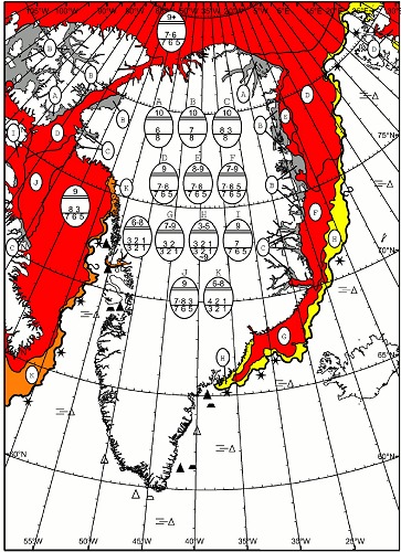
DMI contributes to Polar View by producing medium resolution ice charts covering the
Greenlandic Waters. The ice charts are produced by the Greenland Ice Service at DMI.
The service is responsible for the operational sea ice mapping in Greenland waters
for the safety of navigation.
DMI also provides satellite monitoring of the Greenland coastal regions
in the form of MODIS images from the Dundee Satellite Receiving station.
Click here for access
|