The 3D ocean model
HYCOM and the sea-ice model
CICE
is developed at the University of Miami and
Los Alamos National Laboratory. The models are fully coupled at each time step.
Output are the surface variables sea level and ice conditions (concentration, thickness, velocity, convergense, strength, etc.)
and 3-dimensional maps of current, temperature and salinity
at sigma levels.
Model set-up
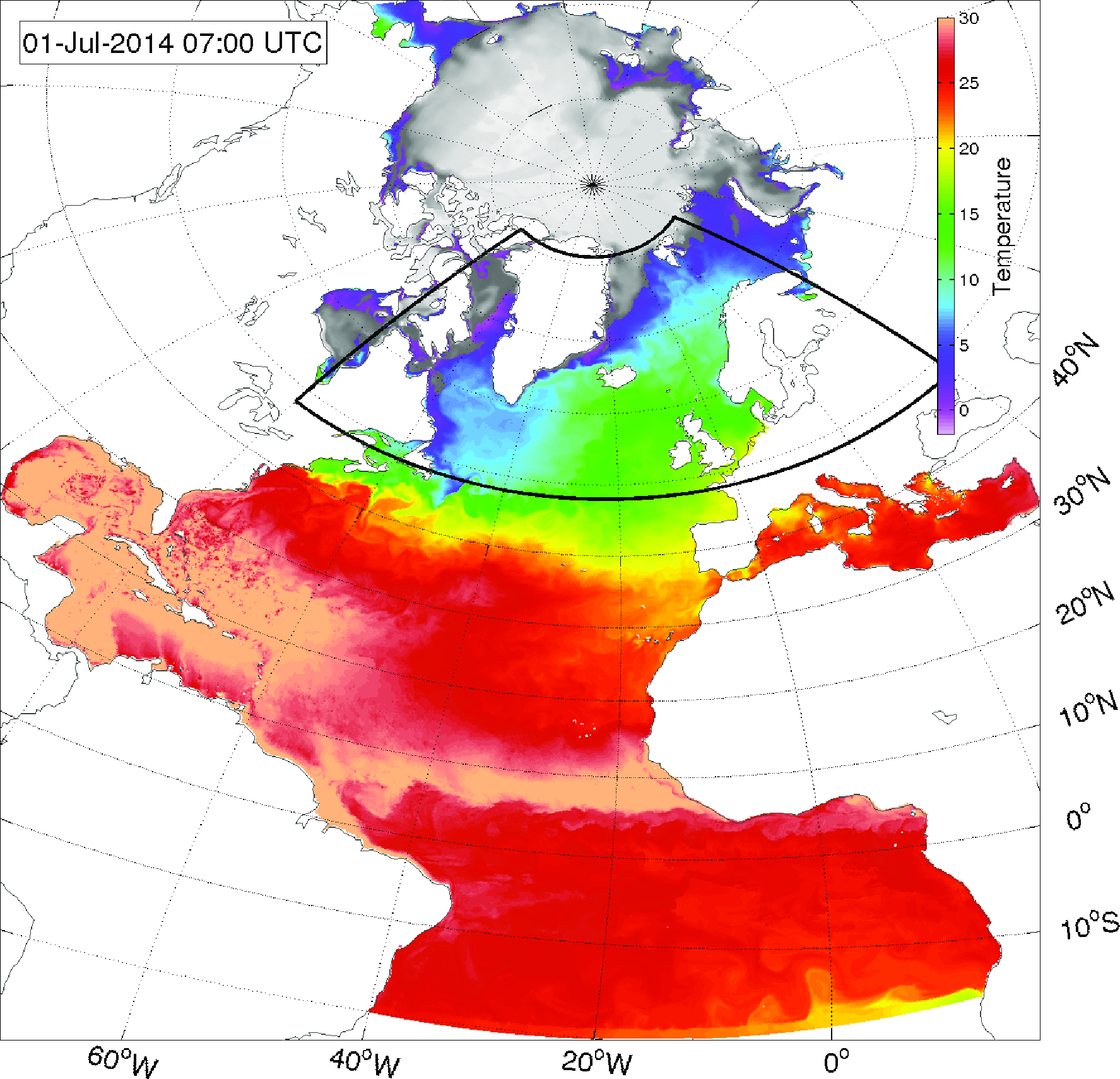
The DMI HYCOM-CICE set-up covers the Atlantic, north of about 15
°S and the Arctic Ocean,
with a horizontal resolution of about 4-5 km in the Arctic Ocean and in Greenlandic waters and lower resolution to the south to about 10 km.
Model forcing is ECMWF
weather forecasts. A 144 hour forecast is produces twice daily, at 00 and 12 UTC.
| Model area |
Atlantic/Arctic |
| Horisontal resolution |
~4-10 km |
Time step:
barotropic
baroclinic
sea ice |
5 sec
90 sec
180 sec |
| Atmospheric forcing |
ECMWF |
| Tidal forcing |
8 constituents |
| Data assimilation |
Sea surface temperature
Sea-ice concentration (L2)
(L3 for backup/polarportal) |
| Boundary conditions |
Levitus climatology
Altrimetry climatology |
Further reading:
Ponsoni, L., Ribergaard, M.H., Nielsen-Englyst, P., Wulf, T., Buus-Hinkler, J., Kreiner, M.B., and Rasmussen, T.A.S., 2023.
Greenlandic sea ice products with a focus on an updated operational forecast system.
Frontiers in Marine Science,
10,
doi:10.3389/fmars.2023.979782.
Madsen, K.S., Rasmussen, T.A.S., Ribergaard, M.H., and Ringgaard, I.M., 2015.
High resolution sea ice modelling and validation of the Arctic with focus on south Greenland waters, 2004-2013.
Polarforschung,
85 (2), 101-105,
doi:10.2312/polfor.2016.006.

