- Aid in the planning of operational activities
- Provide general information to the public
- Input to scientific studies, e.g. climate variability studies
- Independent validation of automatic products
- Other national ice services
- Global mode and wide swath SAR data from ENVISAT and RADARSAT
- Optical and IR temperature AVHRR data
- Passive microwave data from DMSP SSM/I
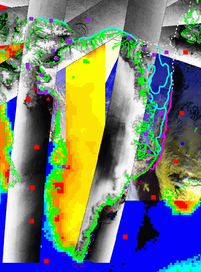
- Sea ice total concentration (in tenths), and partial concentrations of different ice types
- Sea ice stage of development, i.e. ice thickness, age, new-ice type formed under different dynamic conditions: pancake or nilas ice
- Sea ice floe size, the distribution is indicated in different size categories
- Information about primary satellite source for each polygon, if SAR data cover the area this will be the primary source
- Quality indicator for each polygon, difficult to interpret or coarse resolution data are given higher uncertainty
- Metadata, time-date, map projection etc. info.
Access the ice charts here