|
|
 |

|
|
Demonstration product - in development
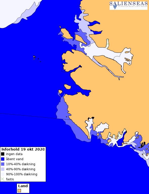
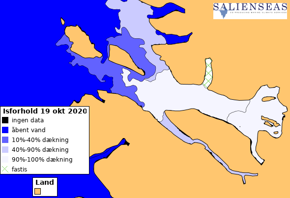
Ice charts with highlighted fast ice area Data from DMI's operational ice charts. Re-drawn to highlight the extent of fast ice for local inhabitants, who travel on fast ice. |
|
|
Overview map:
Hover: Update image
Click: Open zoomable map Detailed map:
Hover: Update image
Click: Open zoomable map |
|
|
This demonstration product was developed in the project SalienSeas, part of the ERA4CS programme. Find other SalienSeas products here: http://ocean.dmi.dk/salienseas |
|