|
Satellite Images
|
 |
|
+++ SERVICE MESSAGE SEPT 2025 +++ DELAYS OR BREAK IN SERVICE MAY OCCUR DUE TO SUPERCOMPUTER UPGRADE +++
|
Satellite Images
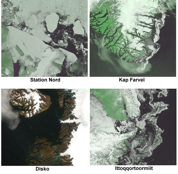
Satellite images from areas along the coasts of Greenland. The images are
updated several times a day.
The images are delivered by the the University of Dundee, Scotland (the
green images) and by NASA's Goddard Space Flight Center.
The NOAA images are infrared images from DMI's own receiving stations.
The Sentinel-1 images are from Europe's new Sentinel-1 satellite.
 Click on the outlined fields on the map below to select the region of your choise.
|
|
|
|
|
